 Alaska Trip to Arctic Ocean - June 2011
We flew to Anchorage and rented an SUV from GoNorth that was equipped with four wheel drive, 6-ply tires,
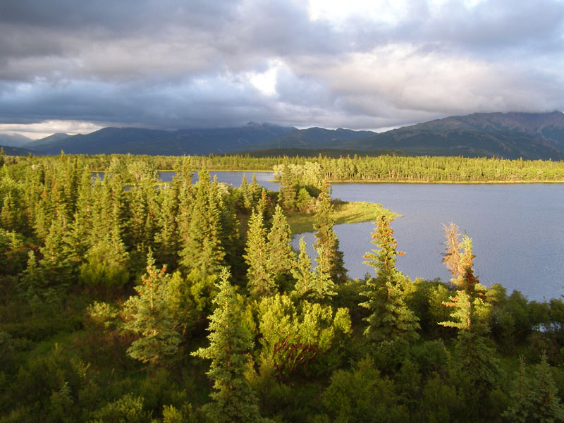
and unlike most rental cars in Alaska, is permitted on non-paved roads. While scenic, this trip was planned as an expedition to the Arctic Ocean
and Prudehoe Bay Oilfileds in Deadhorse, AK and therefore does not include as many photos of mountains and glaicers as our previous trips.
Due to the remoteness of this trip we did see more wildlife.
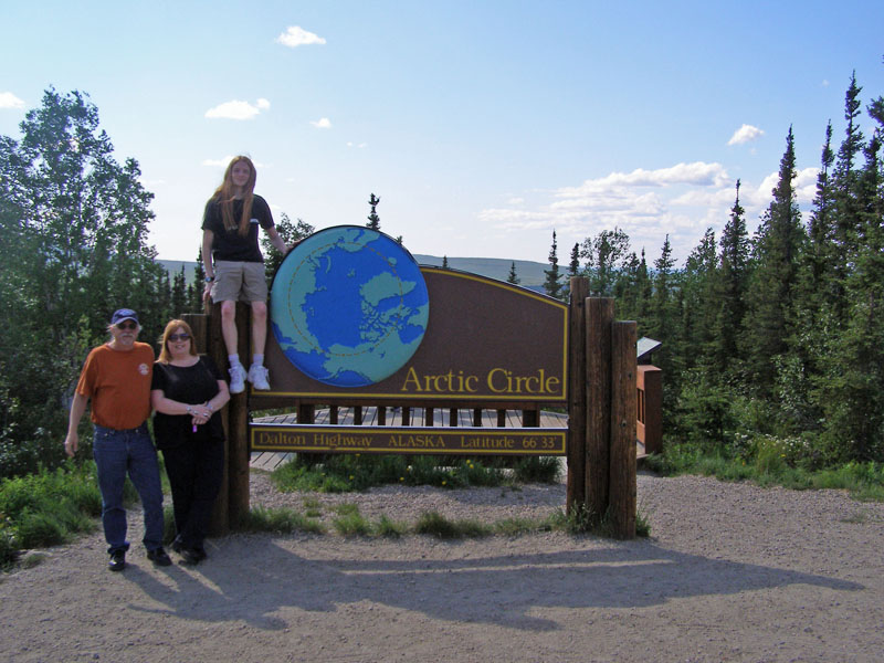
We timed the trip to be 900 miles north of Anchorage, in Deadhorse on June 21, the Summer Solstice. Deadhorse is also 500 miles north of Fairbanks
and 240 miles above the Arctic Circle. The Parks Highway is paved and goes from Anchorage past the Denali National Park and up to Fairbanks.
About 50 miles north of Fairbanks we picked up the Dalton Highway, also known as the Haul Road or the Ice Road Truckers Road you see on TV.
This time of year it is mostly dirt, gravel, and mud but quite passable if you watch out for wild animals and huge trucks hauling oil drilling
equipment. The Dalton was built in 1974 to build the Alaska Pipeline and serve the oil fields. Tourists were allowed on it beginning in 1985.
Below the Arctic circle in Anchorage and Fairbanks the sun sets for a few hours each night but it never gets dark this time of year.
Above the Arctic Circle the sun was above the horizon 24 hours per day.
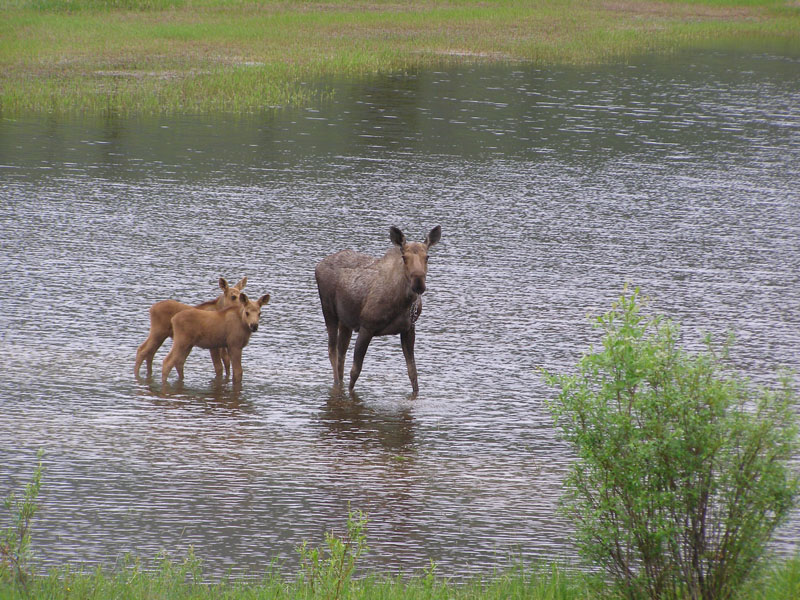
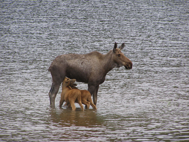
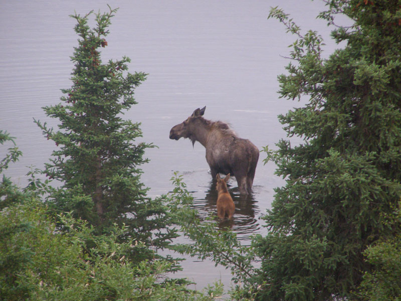
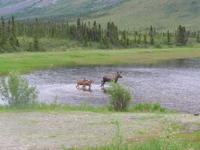 Moose sighting at Grayling Lake on the Dalton just South of the Arctic Circle
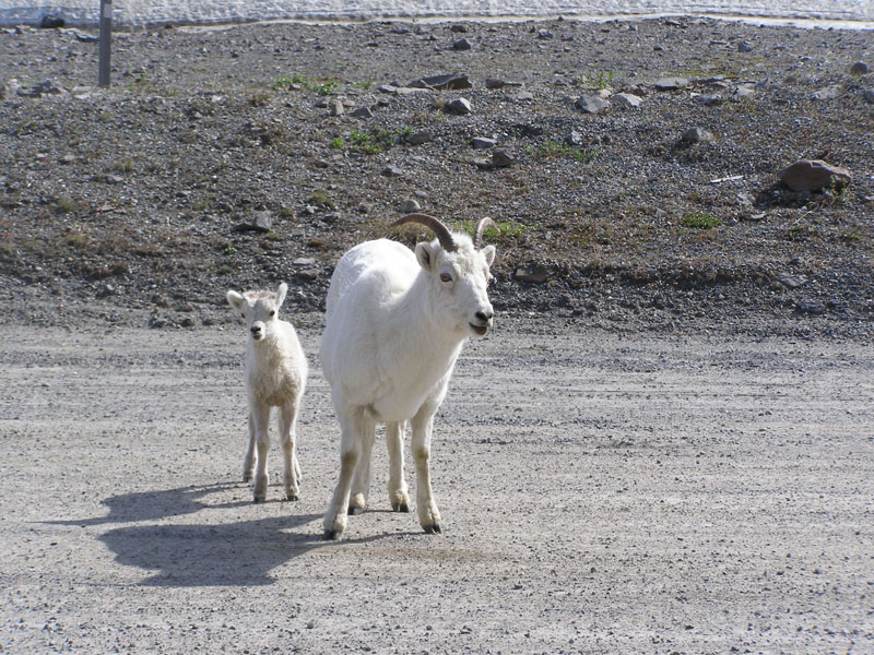 These dall sheep were at the top of Atigun Pass
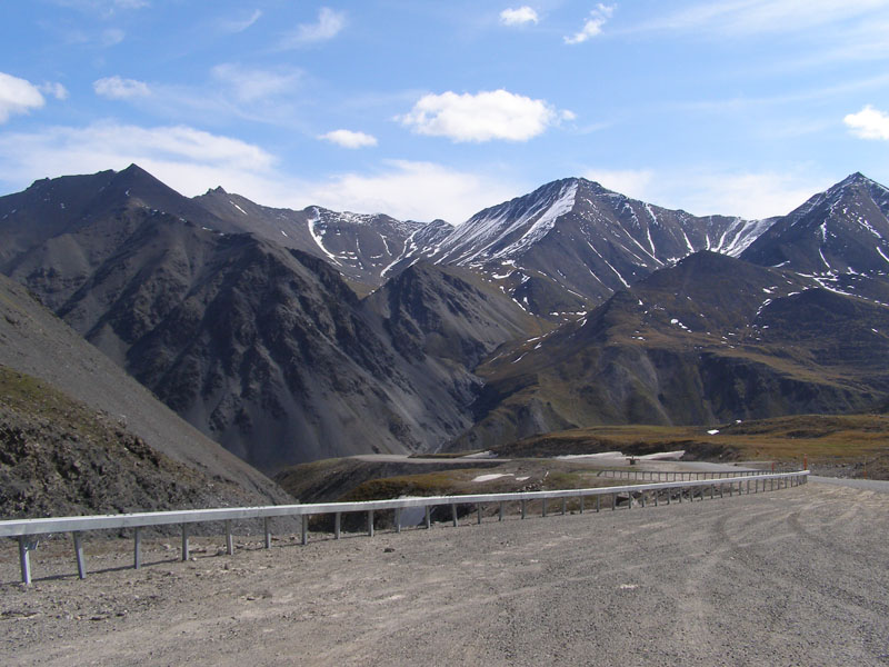 Atigun Pass is where the Ice Road Truckers cross the Brooks Range
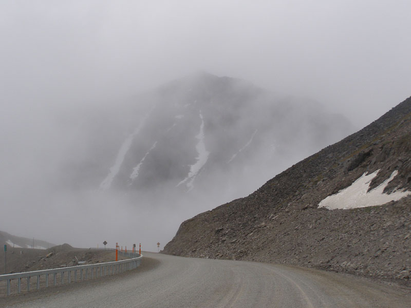 Coming back through the pass a few days later
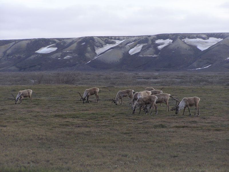
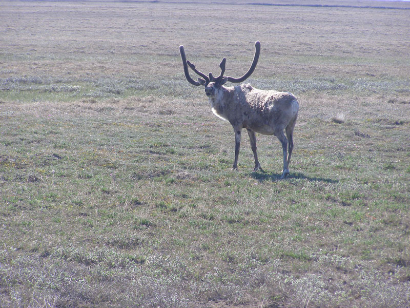 Further up the Dalton the Caribou migrate in for the summer
 Rick, Jenn, and Cody
 The view from the Lakeview Inn at Healy, AK
 I heard "munching" about 5 AM outside my balcony at the Lakeview. These moose (shown the previous evening) were eating tree leaves.
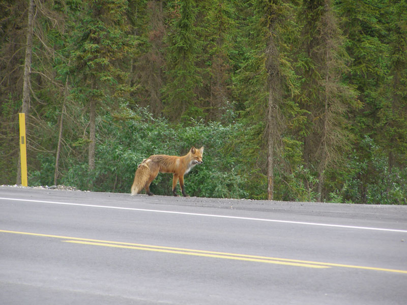 A fox along the road somewhere near Denali
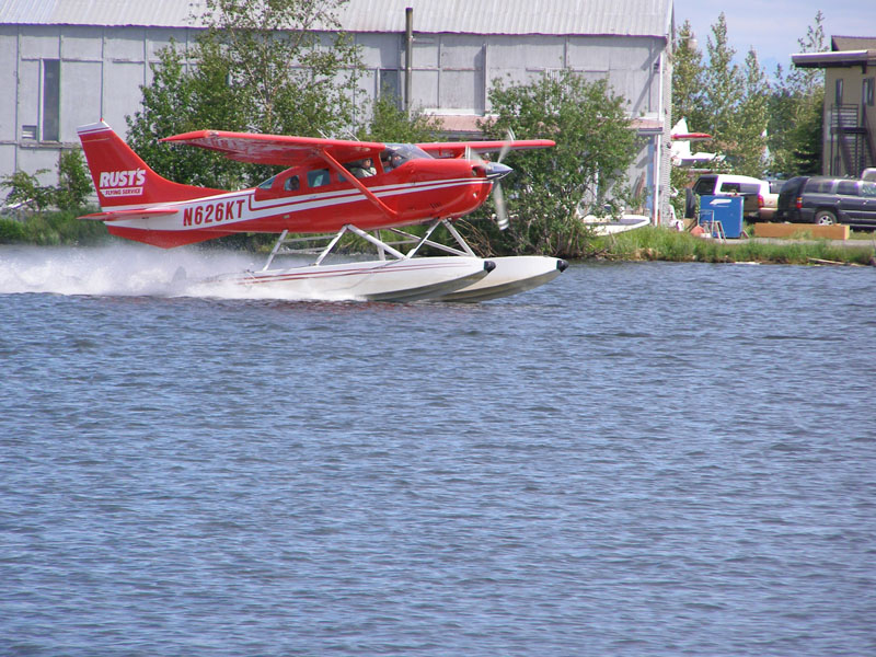 Air travel is essential in Alaska
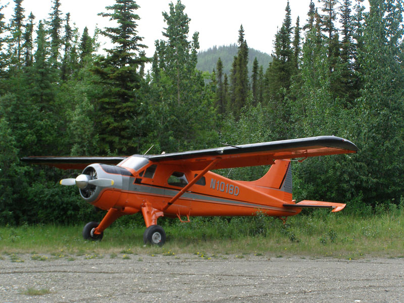 The 1952 DeHaviland Beaver is a bush pilot favorite.
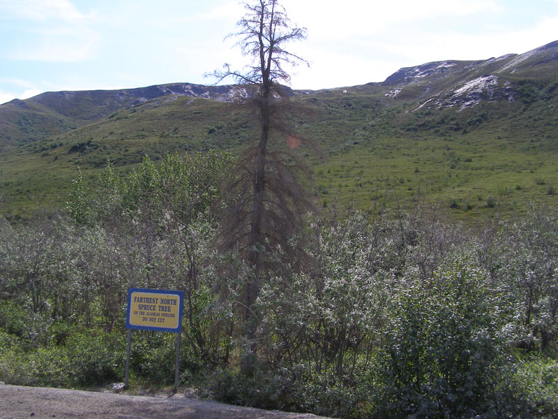 Any further north and trees just can't get enough sunlight to grow
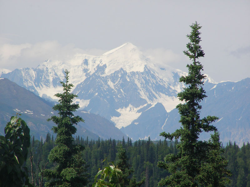 Once again we were lucky enought to see Denali (Mt. McKinley) peek out from the clouds
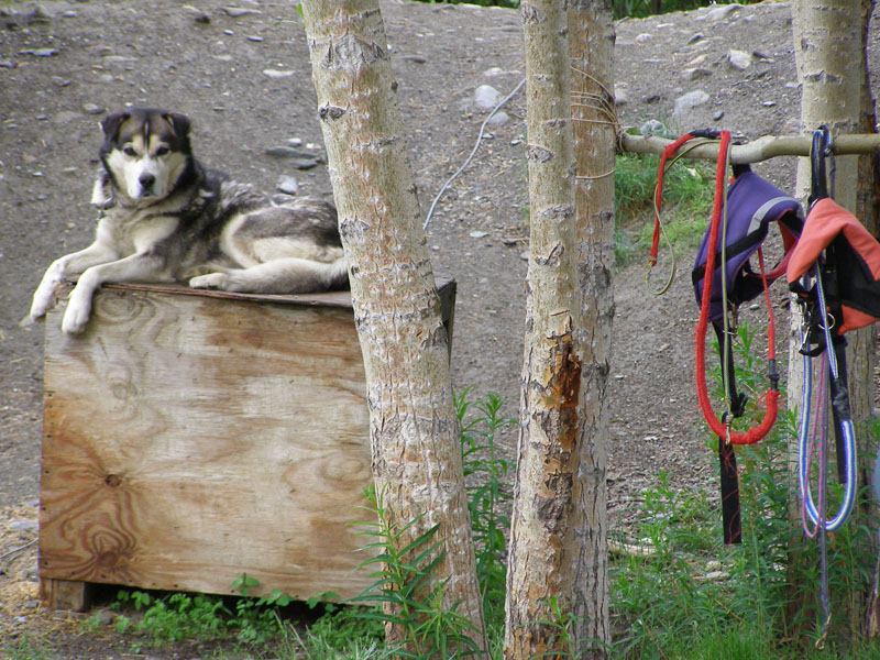 A real Sled Dog. Not sure he likes summer mosquito season
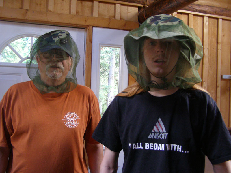 Speaking of Mosquitos. The only place I have seen them worse was in the Florida Everglades
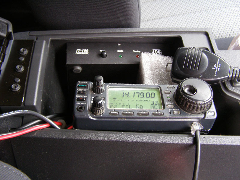 Ham Radio in a rental car
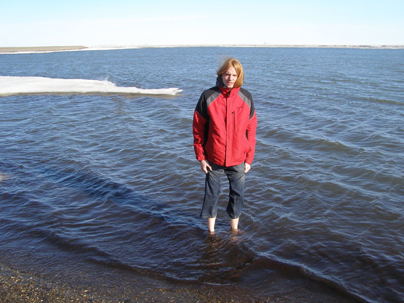
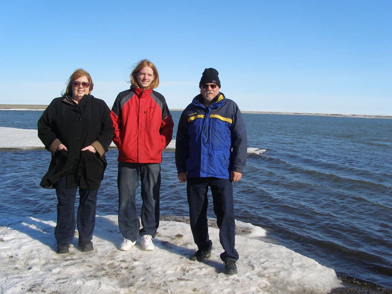 We made it all the way to the Arctic Ocean!
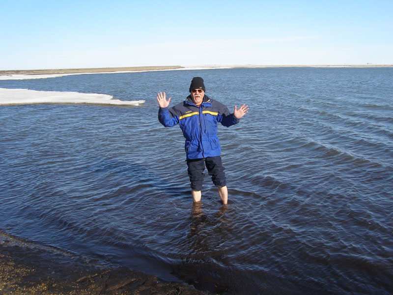 The water is 32 degrees F.
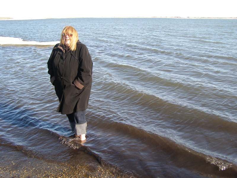 Did I mention the water is cold
 Most months of the year this water is in the solid form
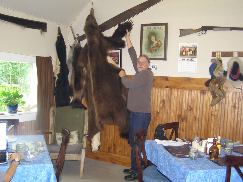 Back in 1985, this bear attacked a hunter and his sled dog team. Several dogs were killed and the hunter was severly injured. Now his hide is on display at the Arctic Getaway Igloo #8
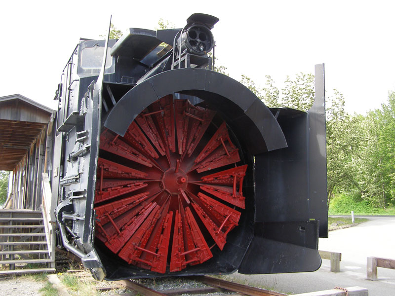 This snowblower is pushed by a locomotive to clear the tracks
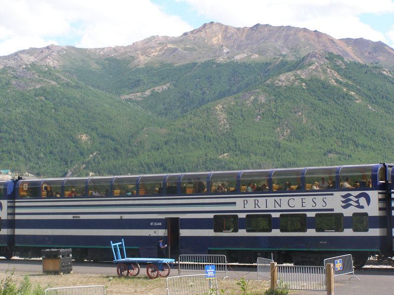 Princess Cruise passengers can ride the Alaska Railroad in special sightseeing cars
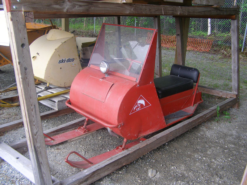 The transportation Museum in Wasilla, AK has a ton of neat artifacts from Alaskan history such as these early Snowmobiles
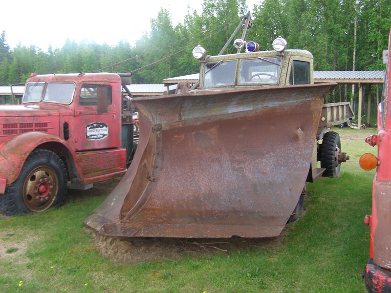 A 1940's snowplow
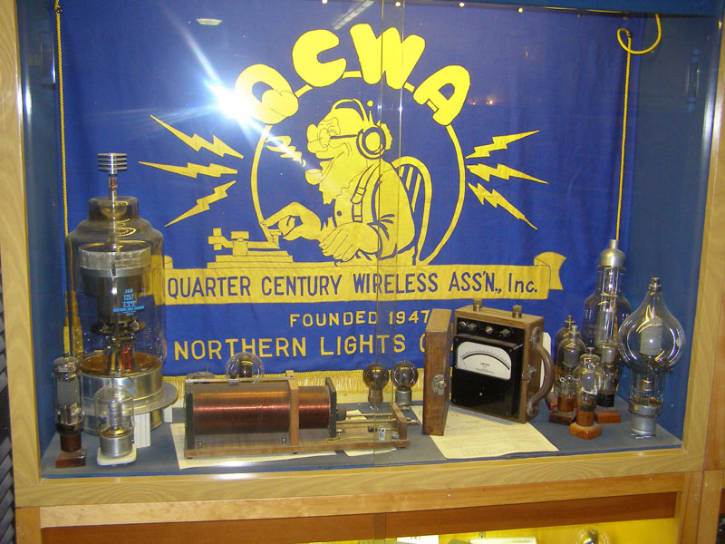 A ham radio display
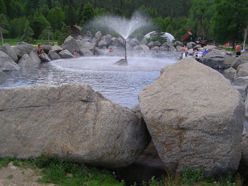 Chena Hot Springs uses geothermal energy for swimming, electrical power generation, and a greenhouse operation
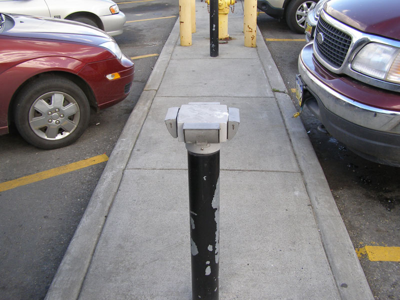 In winter it gets 40 below zero or worse in the interior of Alaska so all parking spaces have electrical outlets for car engine heaters
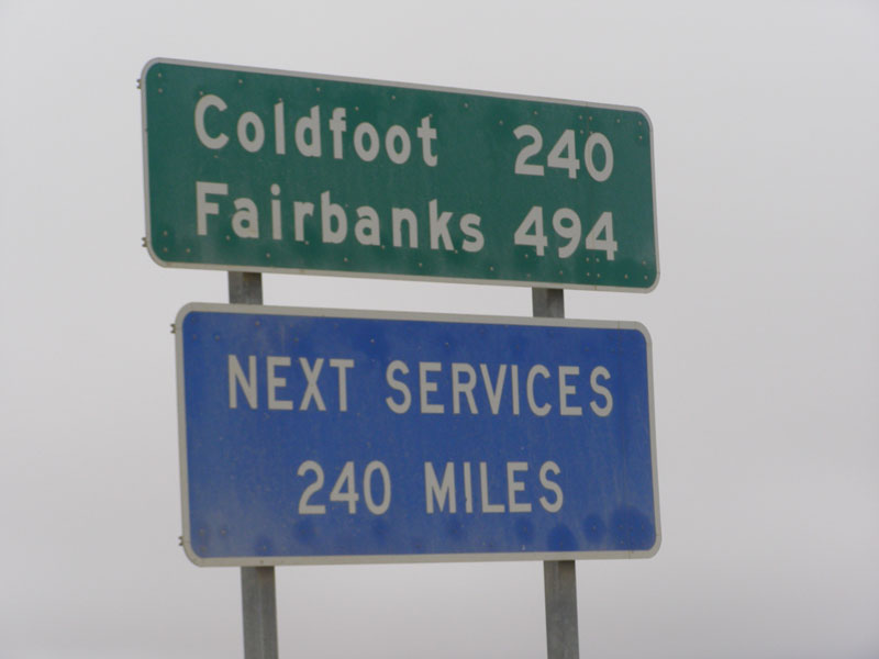
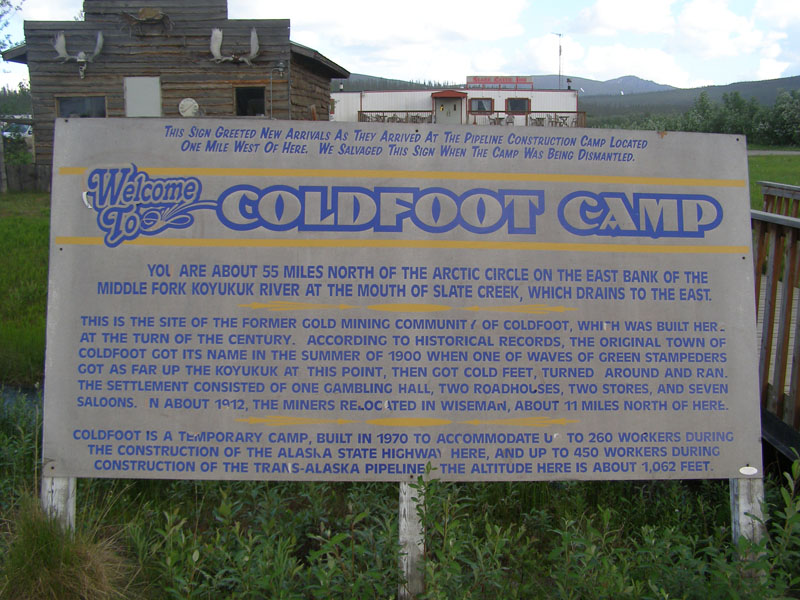 Coldfoot is about half way from Fairbanks to Deadhorse and has been a mining camp and a pipeline construction camp
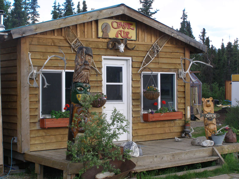 Nearby Coldfoot you can stop in at Coyote Air for a scenic flight or transportation to remote hunting and fishing camps
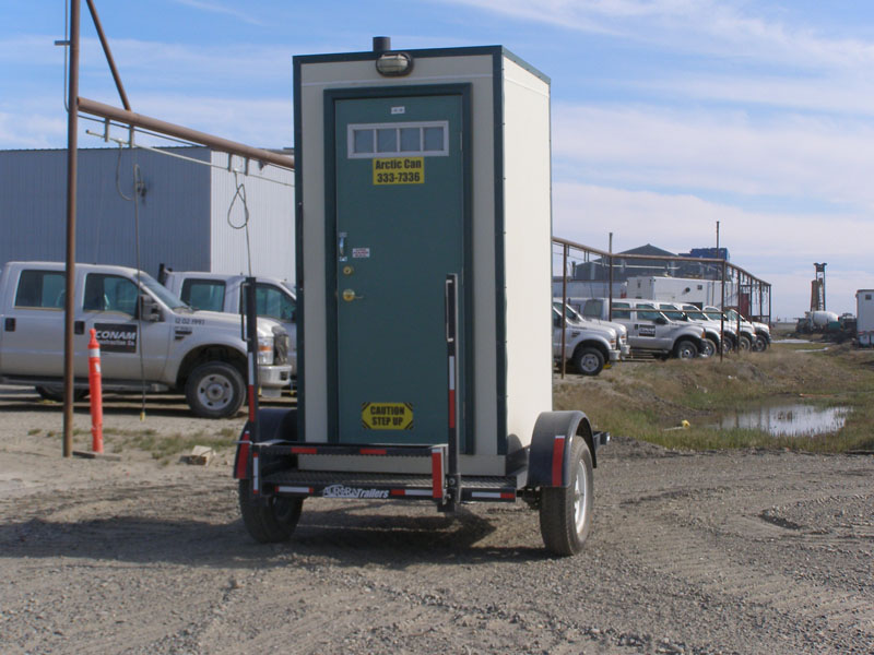 It gets so cold up there the outhouses have electric heat and must be highly insulated
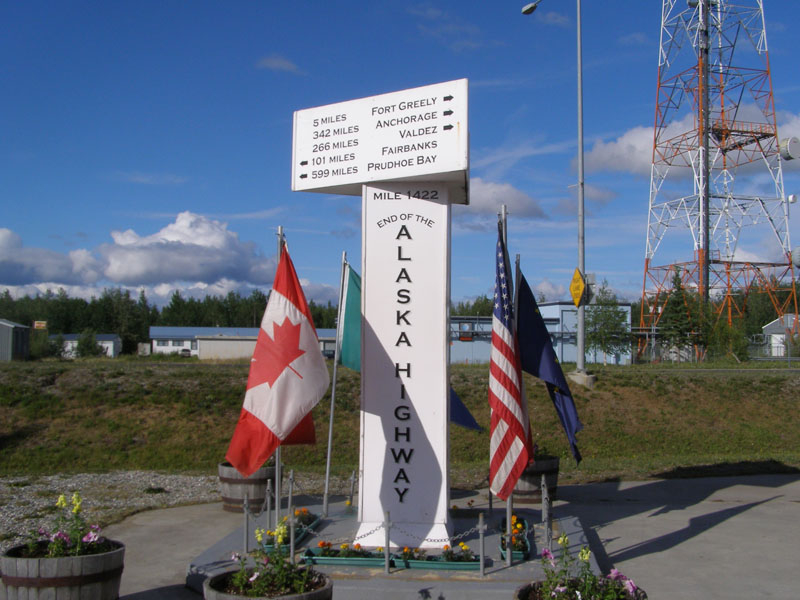 On the way North to Fairbanks we went East across the interior on the Denali Hwy and through the town of Delta Junction. This is where you arrive if you drive to Alaska from the lower 48 via the Alaska Hwy.
 Finally
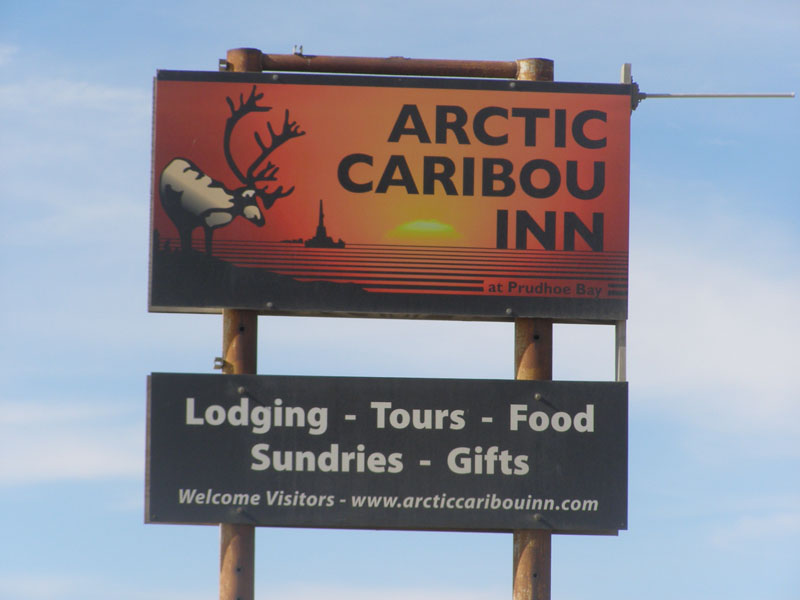 The lodging was built for oil workers but is adequate for tourists.
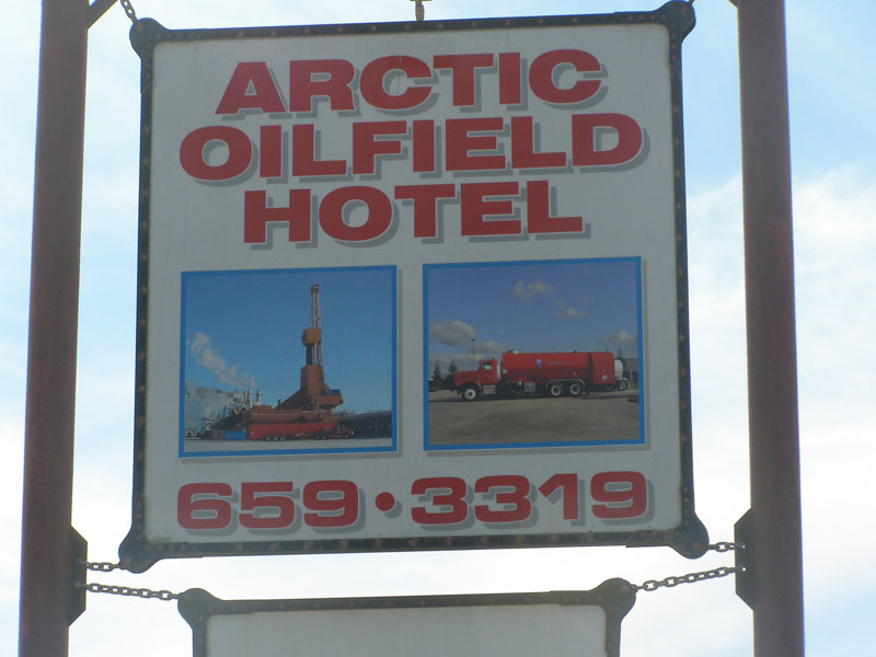 Not too many places to stay
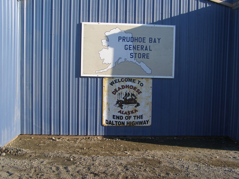
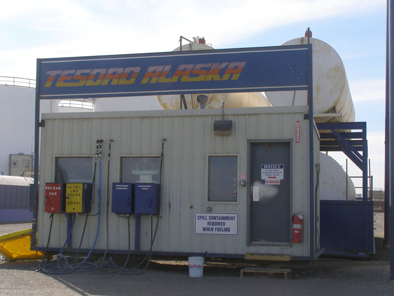 After Fairbanks gas is only available at the Yukon River crossing, Coldfoot, and Deadhorse. The climate is so extreme only the hose and nozzle is outside in a big steel box. The card reader and pumps and indoors
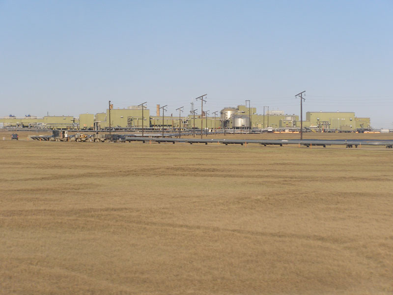
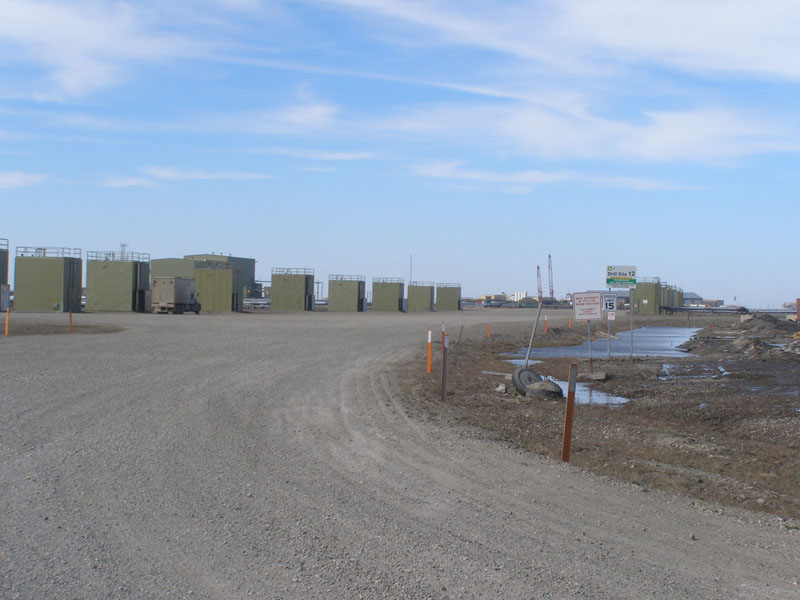
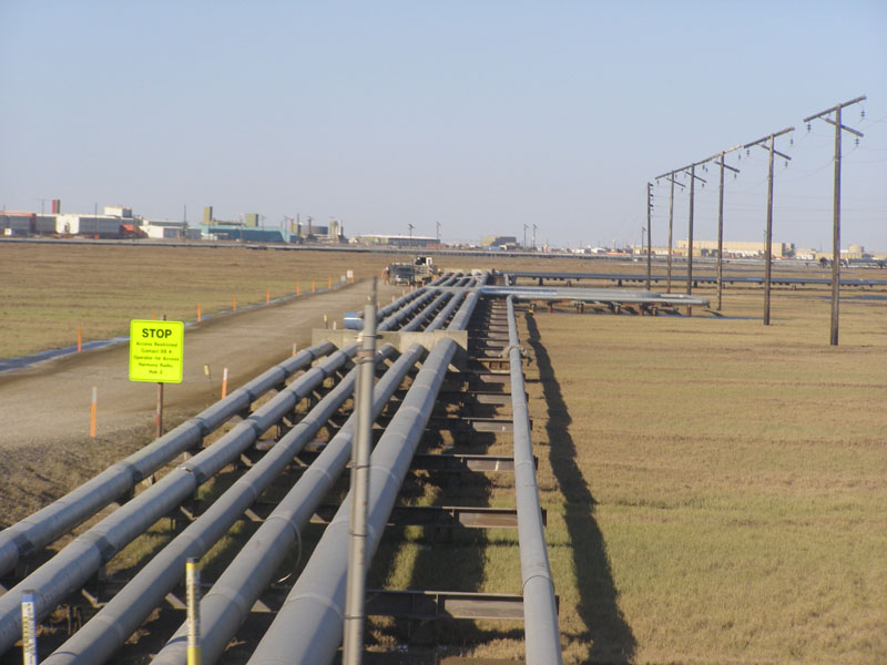 This is the most industrial place I have ever seen. Built entirely to support the oil industry
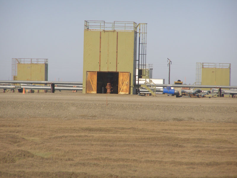
 These buildings seperate the oil, gas, and water, and inject water back in to the ground to push more oil up to the surface
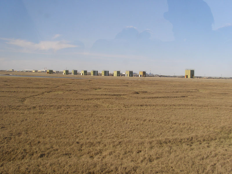 Each hut has 9000 feet of pipe below it.
 Close up of a well head
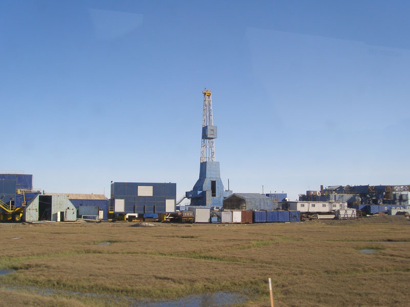 These rigs are moved to each drill site mostly during the winter when they can build an ice road that will melt in the spring and leave the tundra undamaged
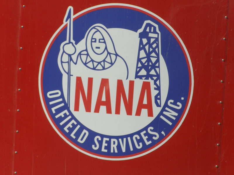 The Native American Corporations do well at Prudehoe Bay
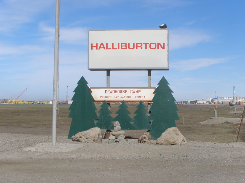
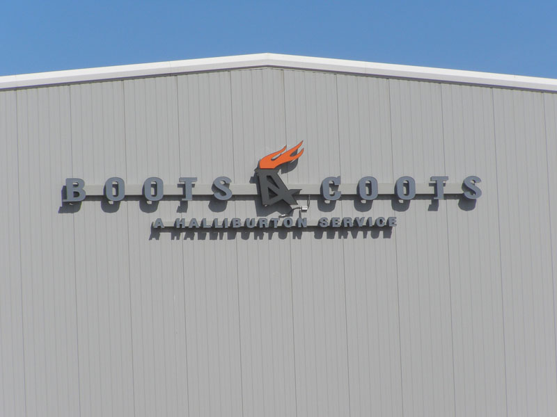 Haliburton probably does better
 Just wrong
 Drill site #12
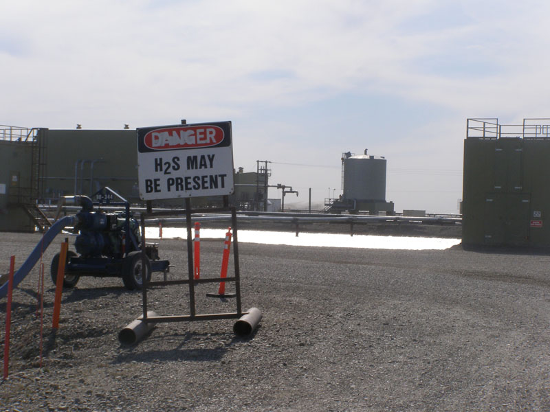 Beware of Hydrogen Sulfide Gas
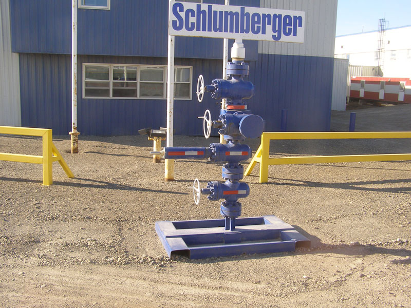 The safety valve that caps each well
 Rollagons have such big soft tires that distrubute weight, they can drive on the tundra. The manufacturer demonstrates them by driving over a human without harm
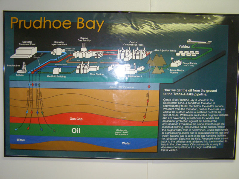 This explains how they get the oil. 20% of America's oil comes from Prudehoe Bay.
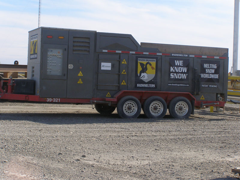 Shovel your walk?
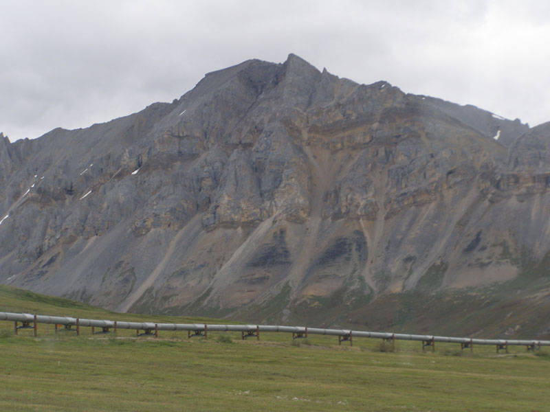 It takes a week for the oil to make it 800 miles through the pipeline over 4 mountain ranges and 100's of rivers to the ice free port of Valdez, AK
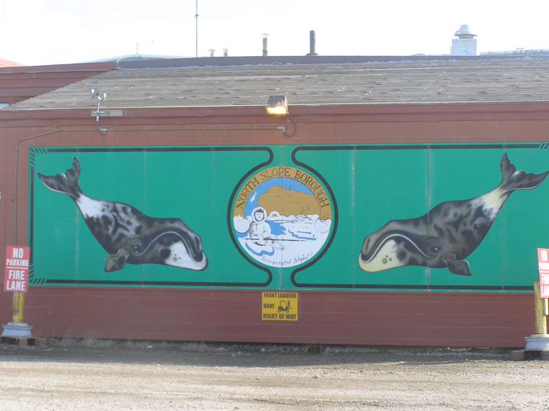 The town offices
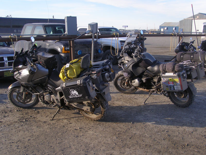 Some people tour Alaska by motorcycle. Mostly BMW's and Harleys. We even saw a few brave souls who bicycle and camp
 It is a long way home
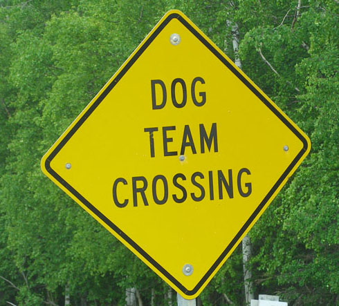 A few signs from the wilds of Northern Alaska
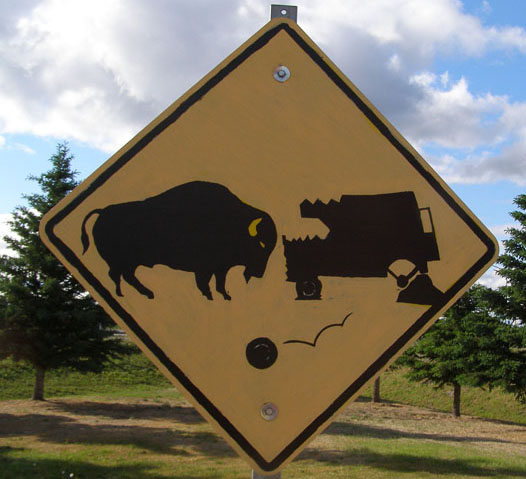 Never saw a bison but apparently you should look out for them
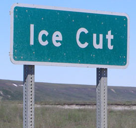 Typical name of a creek or other feature
 Probably an oops of some sort happened here
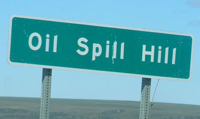
 Not sure what happened here but I suspect it was not good